Original Vegetation
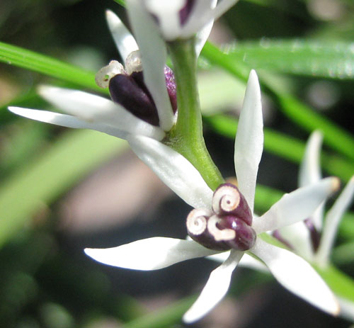
Before invasion by Europeans, almost all of the park is believed to have been covered in grassy open forest or woodland. Woodland means that the crowns of the trees do not touch, and is more formally defined as having 10-30% of the ground surface overlain by the tree canopy. The term open forest is used when the tree density is higher than this. Grassy means that grasses and other herbaceous (i.e. non-woody) plants cover the ground. Smaller trees and shrubs would also be present.
There were three types of this forest or woodland, classified according to the dominant tree species:
- Grey Box grassy open forest or woodland.
- Red Gum - Yellow Box grassy open forest or woodland, sometimes with Grey Box or Manna Gum.
- Red Gum grassy woodland.
Note that this website generally uses the common names of plants, but scientific names can be found in the species list.
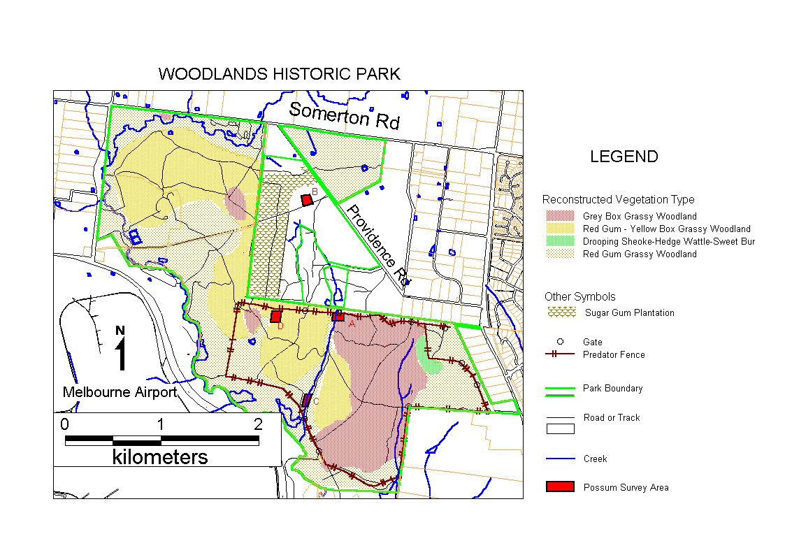
The pre-European vegetation map of the park shows two additional vegetation communities:
- Red Gum riparian (i.e. creekside) Complex.
- A shrub-land or scrub of Drooping Sheoke, Hedge Wattle and Sweet Bursaria.
The map has not been updated to include the former Greenvale Sanatorium area, but this clearly had (and has) the same three types of woodland, as well as areas which may have been scrub.
The Riparian Complex by definition would have existed along Moonee Ponds Creek, while the scrub is shown as occurring on the steep rocky slope on the western side of Gellibrand Hill.
According to Robertson:
"The Grey Box woodland occurs on dry slopes (particularly those with a westerly aspect) and on hills and ridge tops. The Red Gum Woodland is confined to the deepest, wettest soils around Moonee Ponds Creek and it's associated gullies. The mixed species woodland ... occurs in areas which are intermediate to those occupied by the other woodlands types.
The Restoration Plan is more circumspect, referring to competitive pressures, plant-animal interactions and fire history, but concluding "it is not always apparent what governs the distribution of eucalypt species on a particular site". Note that soil type is not mentioned because all of the soils in the park are fertile and mainly derived from the same type of rock, granodiorite.
Red Gum (Eucalyptus camaldulensis) is more generally called River Red Gum. It has the most widespread natural distribution of any species of Eucalypt. Robertson is not the only one to make generalizations about where it grows. For example Colloff in his book about the species states "what the distributions of all subspecies have in common is their association with surface or subsurface water: rivers, creeks, wetlands, flood-plains and ephemeral watercourses". A few pages later he qualifies this, quoting Nicolle regarding the large areas of Red Gum on undulating hills and plains of heavier soil in southern Victoria, but stating that there is groundwater not far below the surface in these areas. Quite large Red Gums grow on the eastern slopes of Gellibrand Hill almost to the top, and if these are reliant on groundwater then it is certainly not obvious from the topography, although perhaps the existence of groundwater can be inferred from the fact that Red Gums are growing there.
Other Vegetation Classification Schemes
The above "traditional" vegetation classification is based on the structure (e.g. grassy woodland or shrub-land), the dominant plant species, and sometimes the landscape position (e.g. riparian). The Victorian Government has their own more recent classification scheme which divides the state into so-called bioregions. Woodlands Historic Park belongs to the Central Victorian Uplands bioregion but is geographically disjoint from the rest of this bioregion, being surrounded by the Victorian Volcanic Plain bioregion. Bioregions are further divided into Ecological Vegetation Classes which are based on vegetation structure, landscape position and "ecological characteristics", whatever that means. A map is available on the state governments environment web site showing the EVCs thought to have existed in 1750. Most of the park is mapped as EVC 71, Hills Herb-rich Woodland. The most southerly portion of the park was EVC 175, Grassy Woodland, while the creekside areas are mapped as EVC 68, Creekline Grassy Woodland. Note that EVC names and numbers need to be qualified with the bioregion since the same names and numbers are used in multiple bioregions to represent different sets of plant communities.
According to a paper by Gellie and others (2017), "the EVCs have been inferred by a variety of field workers utilizing idiosyncratic assessments. There is no workable definition of EVC and there is no effective curation of the state-wide mapping". This paper is a "must read" for anyone interested in the state of vegetation classification in Australia.
Current Vegetation
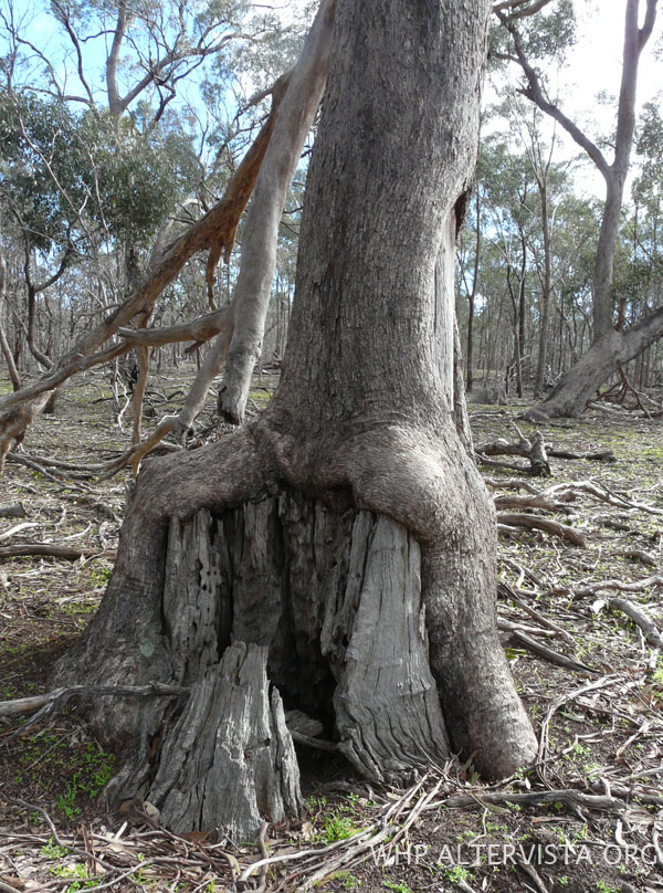
Large areas of the park have been cleared of the original trees, either to allow cultivation or possibly to increase the number of sheep or cattle which could be carried. Even in areas that have not been cleared the density of old trees is likely to be lower than it was, as over 140 years of livestock grazing would generally have prevented new trees from growing to replace those which died. Grazing also eliminated most of the shrubs and smaller tree species. Grazing appears to have been less intense or less continuous on the former Greenvale Sanatorium land, where the Red Gums are of more mixed age.
Apart from the changes in tree density and loss of shrubs, there have been massive changes in the grassy ground cover.
The Riparian Complex along Moonee Ponds Creek can barely be said to exist any more in the park, due to the erosion of the creek.
Old trees have continued to die since the formation of the park. However following the removal of livestock new trees have grown naturally in some areas close to remaining trees, and in other areas trees and shrubs have been planted. Some of the natural regeneration seems to have been very rapid - for example, cattle were removed from what is now the back paddock in 1985, and by 1995 there were dense stands of grey box saplings 8 to 10 m tall.
There are also stands of younger saplings, particularly red gums, which have germinated during more recent wet summers. They range from sparse to extremely dense.
According to the Restoration Plan (p. 40), "there is no evidence that self-thinning will be sufficient to resemble the natural structure of the woodlands or forest", and "Extensive artificial thinning will be necessary". This would have allowed grass and other ground flora to survive and also hastened the maturity of the saplings left behind. It was never done, and forty years after livestock was removed there is still no sign of self-thinning in the Grey Box areas to which the Restoration Plan was referring. Self-thinning of Red Gum can be easily seen, such as in Twin Dams Paddock.
Species Past and Present
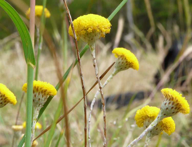
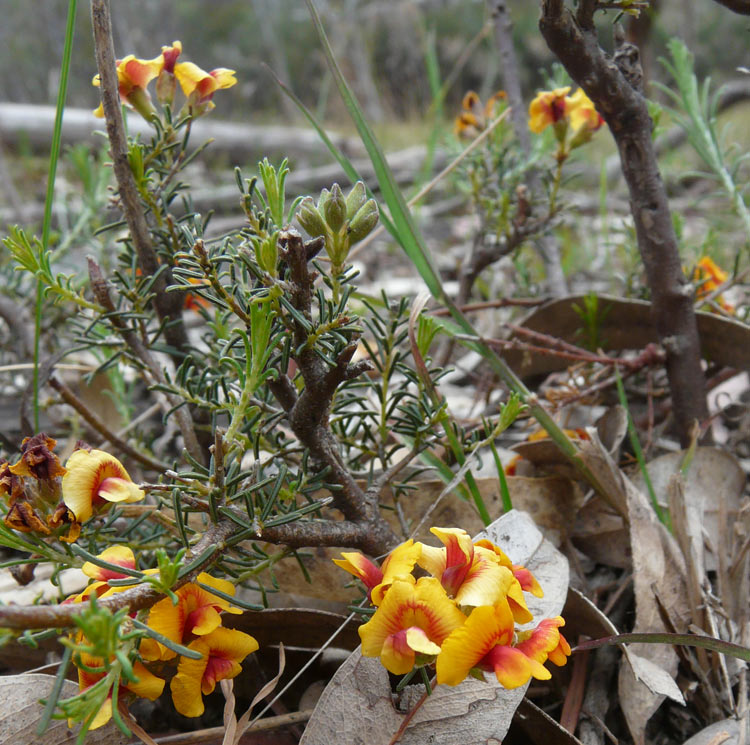
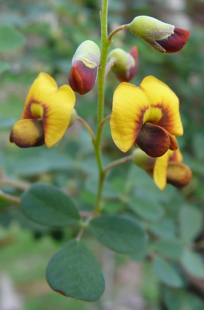
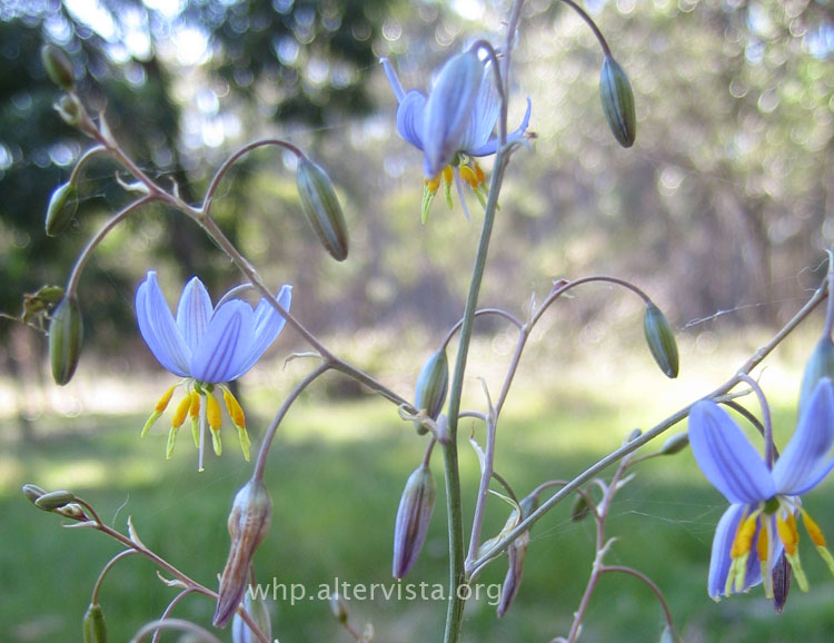
256 plant species have been observed to occur naturally within the present boundaries of Woodlands Historic Park, an increase from the 173 stated in the management plan. A further 163 species probably occurred according to the restoration plan, giving a total of 419 local (also known as indigenous) species.
Another 208 plant species found in the park are aliens - they have got there by deliberate or accidental human intervention in the last few hundred years. They include 23 Australian species which are or may be outside of their natural range.
Of the indigenous species which have actually been observed in the park at least 36 can no longer be found, or are present in such low numbers that they are unlikely to be a viable population. Adding the 163 probable species we get a total of about 199 indigenous species* which have been lost, or almost half of the total.
Diversity cannot be judged just by the number of species. An area the size of the park with 400 native species would be considered low diversity if 390 of the species exist as just a few tens of plants each - there needs to be enough of each species to ensure its continued survival and to support other species which depend on it. On this basis the park gets a worse score than it does from the raw species numbers, because many areas of the park are dominated by a few weed species such as Chilean Needle Grass and Patersons Curse, while many of the indigenous species are very uncommon.
Threatened Species and Communities
Nine plant species recorded from the park are listed as rare or threatened in Victoria, an increase of eight since the management plan was written. A further 14 rare or threatened plant species are listed as likely to have occurred in the park.
Grey Box grassy woodland is listed as an endangered ecological community under the Commonwealth Environment Protection and Biodiversity Conservation Act. The large area of Grey Box in the back paddock presumably qualifies even though it is now better described as Grey Box Forest. (It seems to be possible for a woodland to meet the criteria for the nationally listed endangered ecological community even if it does not contain any grass at all.) However the patches of Grey Box in the areas mapped as mixed species woodland (in the Conservation Zone and Weeroona Cemetery Conservation Zone) probably give a better impression of what a Grey Box Grassy Woodland should look like.
Notes
* In the species table the "lost species" are those with a blank or ? in the "O" (Origin) column and anything other than blank or ? in the "LS" (Local Status) column. They include those marked P (Planted) since the original gene pool from this location has been lost. The number is only an estimate because the list of species considered likely to have occurred is just an expert opinion - there could have been more or less. Also, some of the species marked ? may no longer occur in the park. On the other hand there might be some unknown plants of the missing species, or new plants might germinate from old seeds in the ground.